Lot 1011
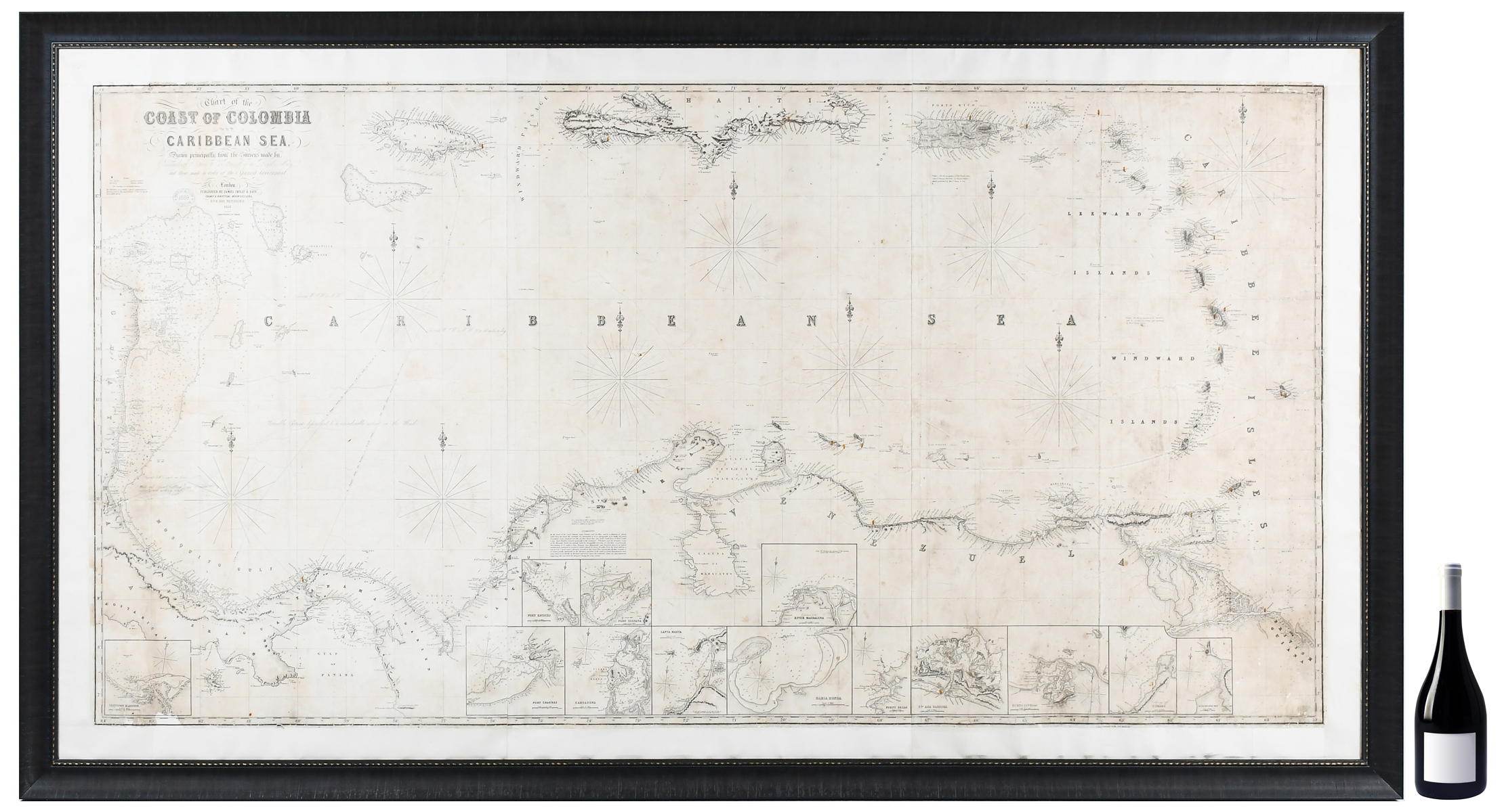
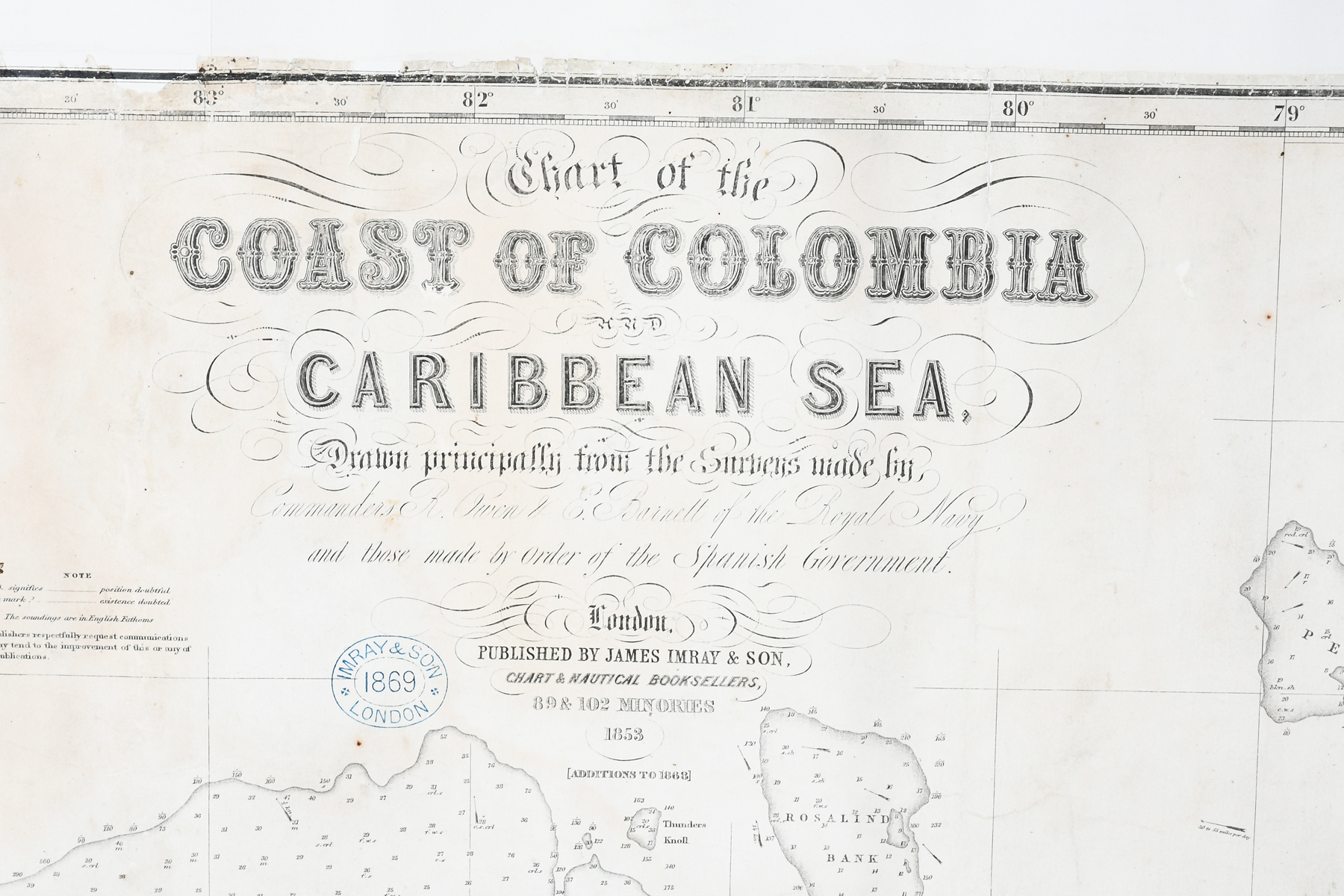
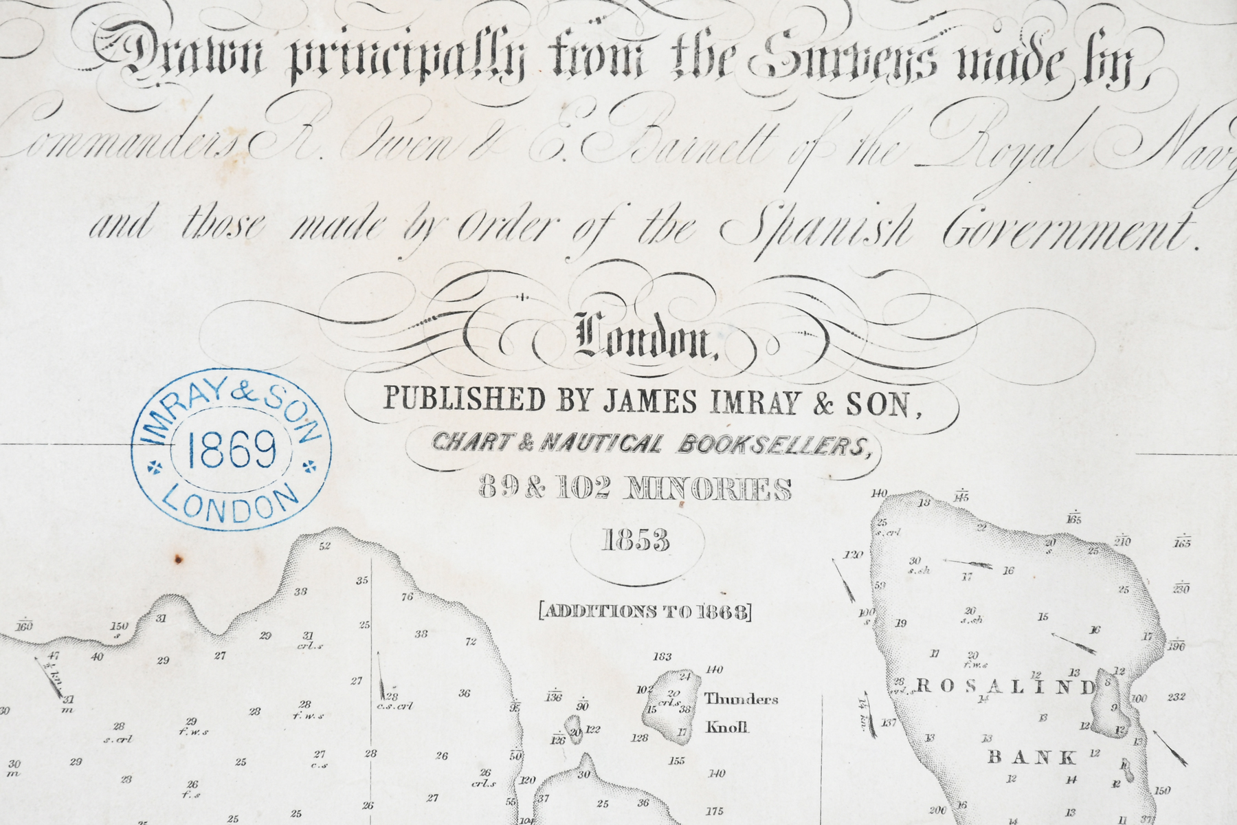
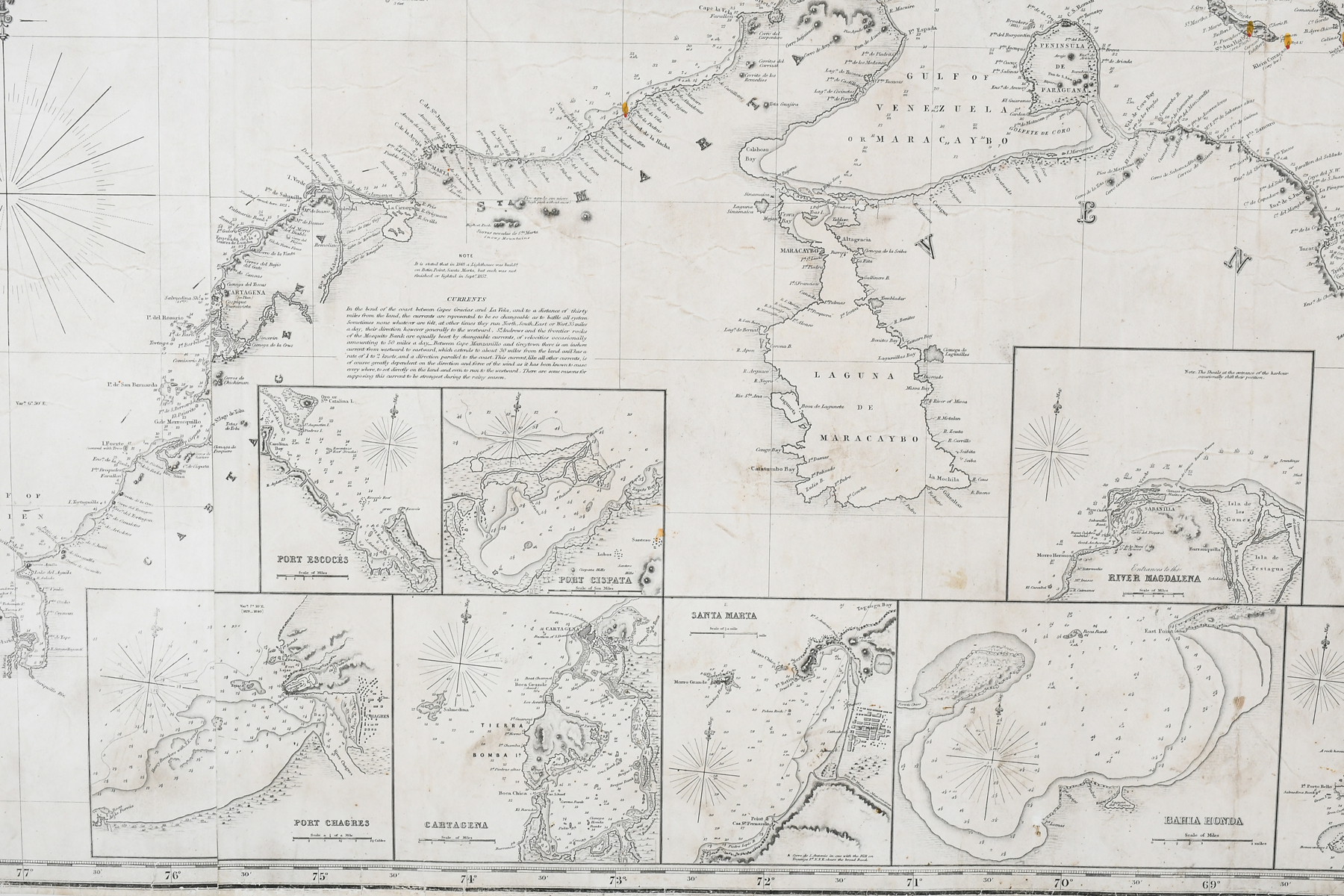
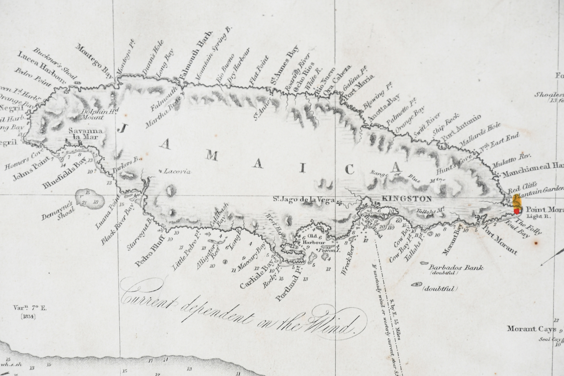
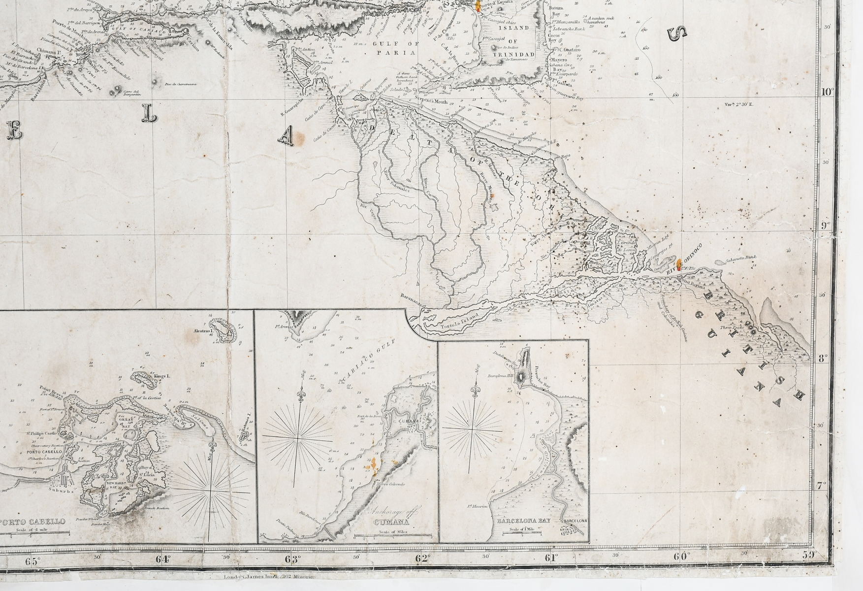
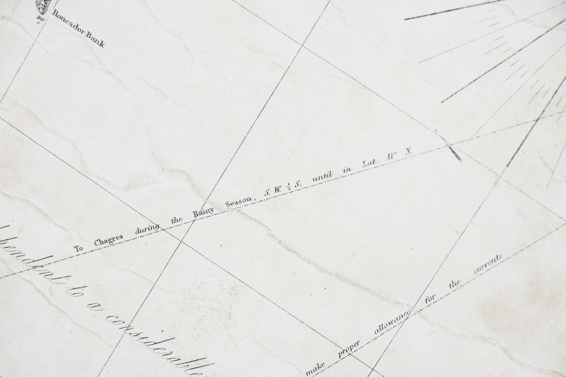
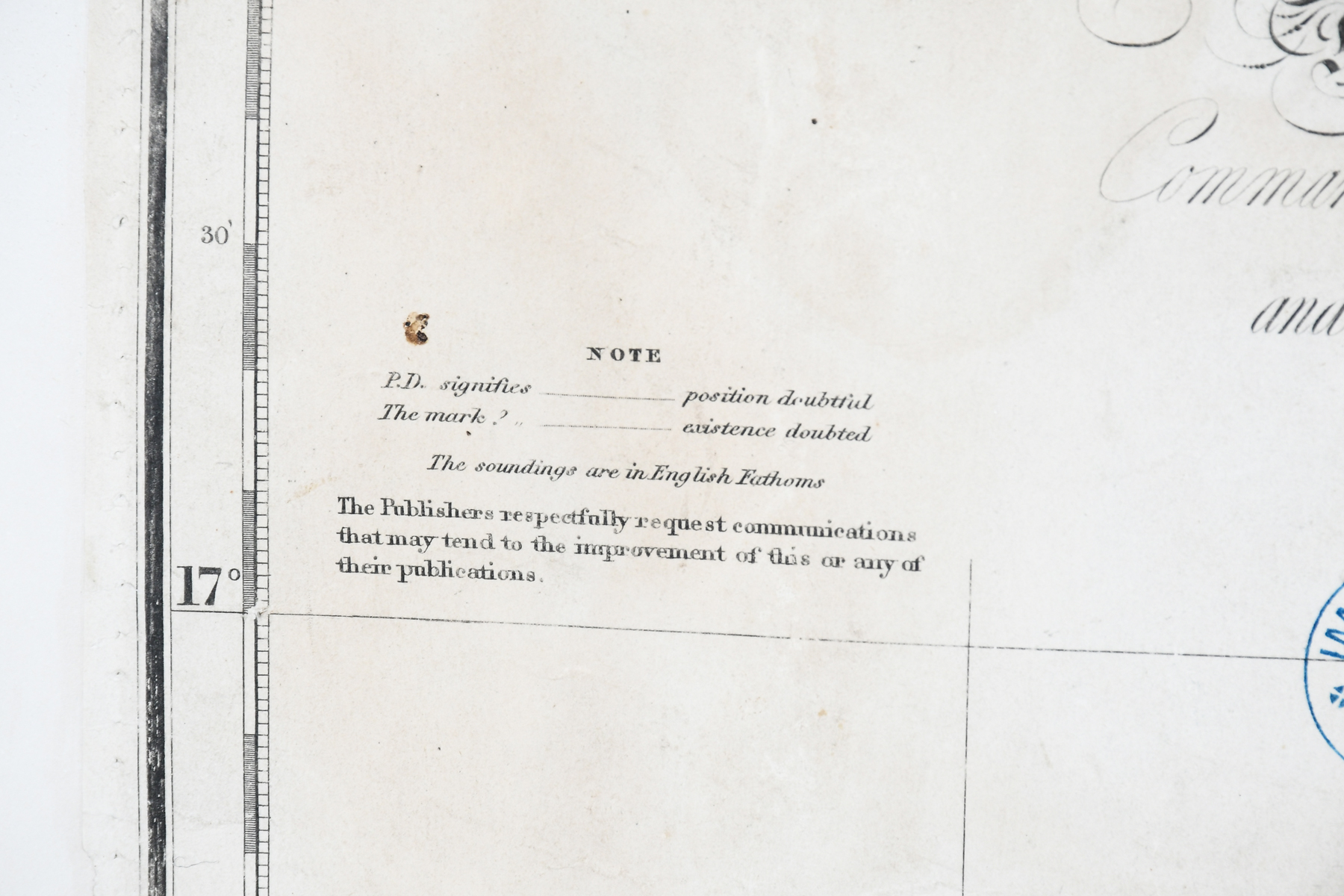
LARGE FRAMED 1869 CARIBBEAN MAP: Framed canvas-back Chart of the Coast of Columbia and Caribbean Sea. ''Drawn principally from the surveys made by Commander R. Owen & E. Barnett of the Royal Navy and those made by order of the Spanish Government.'' Published by James Imray & Son Chart & Nautical Booksellers. Date stamped 1869. In frame, measures overall approx. 47.25'' h x 82.75'' w x 1.5'' d.
CONDITION: Gentle wear to paper map edges commensurate with age and use; well preserved on canvas-back.